Below The Surface
While it's easy to think we know all there is to know about our planet, we're really only just beginning to scratch the surface - literally.
Experts of geology around the world have been working together to unlock the mystery of a strange landmass hidden below the ocean waves. This landmass has an ethereal name and an unbelievable history. After decades of looking, could scientists have finally uncovered their very own Atlantis?
A New Theory
For decades, geologists have studied the mystery of the Earth's landmasses - both above and below the sea.
In fact, researchers in New Zealand were doing just that when they stumbled upon the answer to a question that had been in scientists' minds for centuries.
A Puzzle
It's a well-known fact that the Earth's crust forms shapes that fit together like giant puzzle pieces. Scientists agree that our landmasses were once a single continent, called Pangea.
However, geologists are still trying to put this giant puzzle back together. And, every now and then, they discover a new piece of it.
Filling In The Gaps
It doesn't even take a geologist's eye to see where all these landmasses could have fit together all those ages ago. But, in the southwest Pacific, between Eastern Australia and West Antarctica, there's one place on the map where something just doesn't fit.
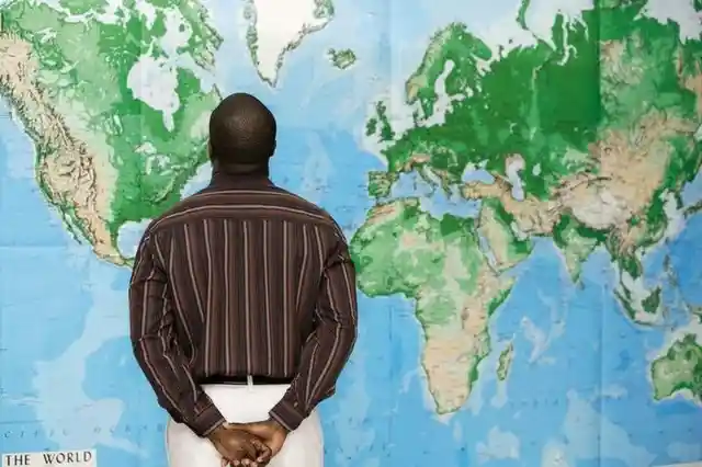
There is a large gap separating these landmasses, so scientists always had a feeling that this piece of the puzzle was missing.
Ages Ago
In the Permian Age 250 million years ago, our landmasses were together as Pangea. But, 50 million years later, during the second Triassic age, Pangea split into two large landmasses, Laurasia and Gondwana.
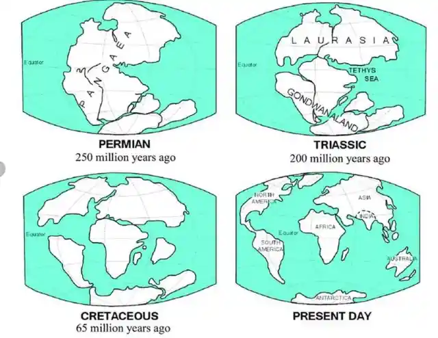
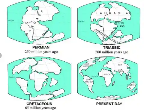
The landmass that scientists had a special interest in was the Gondwana landmass.
Under The Waves
It was during the search for Gondwana that several strange crusts were found underwater.
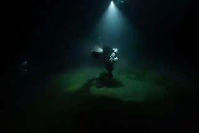
Dr. Nick Mortimer, through the International Ocean Discovery Program (IODP) and with a team of scientists, decided to try to figure out exactly what these crusts actually were.But they had no idea just what they were about to discover.
Getting Off To A Bad Start
The investigation ran through two decades, beginning in 1997 and ending in 2017. Dr. Mortimer and his team had gathered as much information on the underwater crusts that they could.
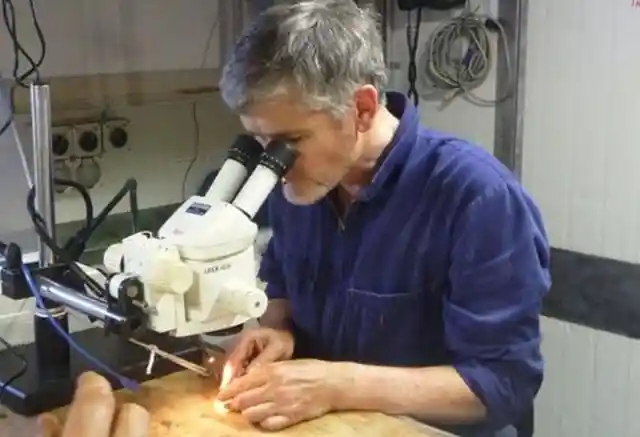
The team had a difficult start because the technology was very limited. But later, they made a breakthrough when the technology began to advance.
Seafloor Mapping
In order to prove that the crusts underwater had once been above the ocean, the scientists needed a large amount of irrefutable evidence.
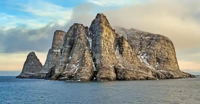
Although divers could clearly see how large the landmass was in person, it was seafloor mapping that provided more of the proof that they needed for their claims. What they discovered was shocking.
Careful Calculations
The invention of seafloor mapping technology improved with time, meaning that it was more accurate and precise. Now, with the help of satellite images, the underwater landmass was seen clearly for what it was for the first time.
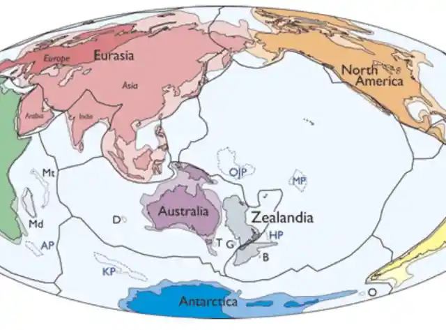
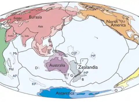
Thanks to precise physical measurements, the team of geologists was able to estimate that the mysterious landmass was about the size of India. But, was it a whole new continent?
The Missing Piece
Dr. Mortimer and his team named the newly-discovered landmass Zealandia. Even though only 6% of its crust is above water and makes up most of New Zealand, the remaining 94% of its crust is underwater.
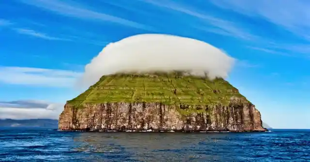
Now that the scientists knew exactly how large the landmass was, they had an ambitious goal: They wanted to prove that Zealandia used to be a continent. But this wouldn't be easy.
A Daunting Task
Now, the scientists had to show their proof of Zealandia's height above the ocean floor, and they also had to prove that the mass of what was underwater matched the mass of its land above water (New Zealand).
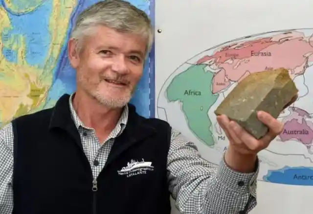
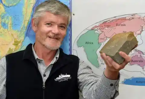
Additionally, they had to prove that the land that was below the water had once been above the ocean. It would be a gruelling task, but the team was up for the challenge.
The Team
The International Ocean Discovery Program consists of 23 scientists from 12 different countries. And they all came together for the once-in-a-lifetime expedition.
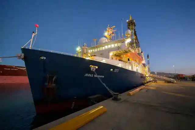
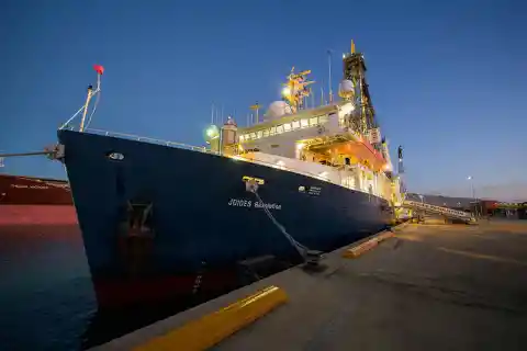
The team gathered aboard the research vessel JOIDES Resolution and sailed out to sea. They were determined to see the mythical Zealandia for themselves.
Hard Work
The large team of scientists was at sea for a two-month expedition to explore the underwater landmass while divers were hard at work drilling and excavating so that they could collect fossils and rock samples.
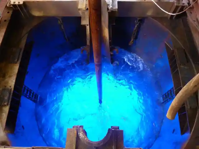
Eventually, they had amassed more than 8,000 specimens that needed to be studied. When they investigated them, their jaws dropped.
The Remains
The geologists were hoping that the specimens they had found would finally prove that Zealandia was actually a continent. And indeed, the fossils revealed that Zealandia had not always been under the sea.
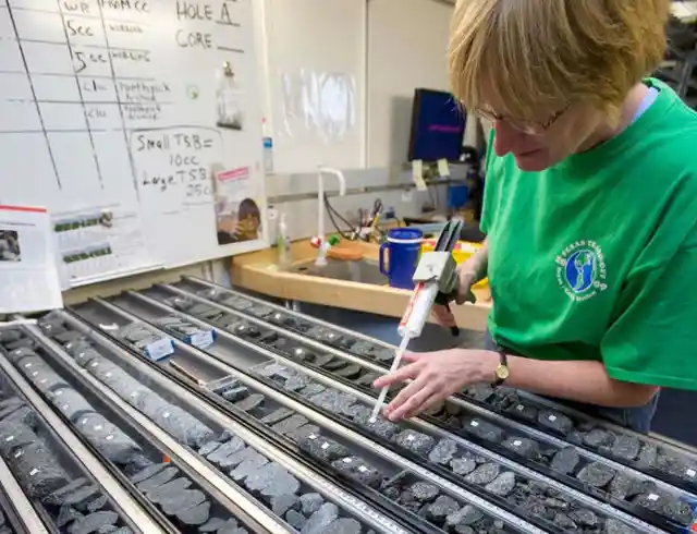
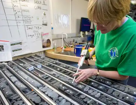
Gerald Dickens, co-chief of the expedition was especially excited about what their findings were indicating.
Before It Was Submerged
Dickens said: "The discovery of microscopic shells of organisms that lived in warm shallow seas, and of spores and pollen from land plants, reveal that the geography and climate of Zealandia were dramatically different in the past."
For science enthusiasts, the findings were incredibly intriguing. But why did Zealandia sink in the first place?